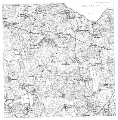
TK25 Blatt 1728
archiviertes Blatt 1728 der Topographischen Karte 1:25.000 (Chronologe) aus dem Jahr 1919
Daten und Ressourcen
Zusätzliche Informationen
| Feld | Wert |
|---|---|
| Verantwortlicher | Landesamt für Vermessung und Geoinformation Schleswig-Holstein |
| Zuletzt aktualisiert | April 24, 2024, 04:17 (UTC) |
| Erstellt | Januar 21, 2024, 04:32 (UTC) |
| Contact email | Poststelle@LVermGeo.landsh.de |
| Contact name | Landesamt für Vermessung und Geoinformation Schleswig-Holstein |
| End of temporal extent | 1919-12-31T00:00:00 |
| GUID | https://opendata.schleswig-holstein.de/dataset/a3acacf0-6e14-4fa7-a90c-8ca7fc3dd104 |
| Identifier | a3acacf0-6e14-4fa7-a90c-8ca7fc3dd104 |
| Issued | 2021-01-22T00:00:00 |
| Modified | 2021-01-22T13:03:00 |
| Publisher URI | https://opendata.schleswig-holstein.de/organization/01115337-01d1-4e96-aa8e-9749524889c7 |
| Publisher name | Landesamt für Vermessung und Geoinformation Schleswig-Holstein |
| Sprache | ["http://publications.europa.eu/resource/authority/language/DEU"] |
| Start of temporal extent | 1919-01-01T00:00:00 |
| Theme | ["http://publications.europa.eu/resource/authority/data-theme/REGI"] |
| URI | https://opendata.schleswig-holstein.de/dataset/a3acacf0-6e14-4fa7-a90c-8ca7fc3dd104 |
| access_rights | http://publications.europa.eu/resource/authority/access-right/PUBLIC |
| contributorID | ["http://dcat-ap.de/def/contributors/schleswigHolstein"] |
| maintainer_contacttype | Organization |
| metadata_harvested_portal | https://www.schleswig-holstein.de |
| spatial | {"coordinates":[[[10.325289,54.196662],[10.328684,54.302404],[10.505939,54.300321],[10.502092,54.194587],[10.325289,54.196662]]],"type":"Polygon"} |