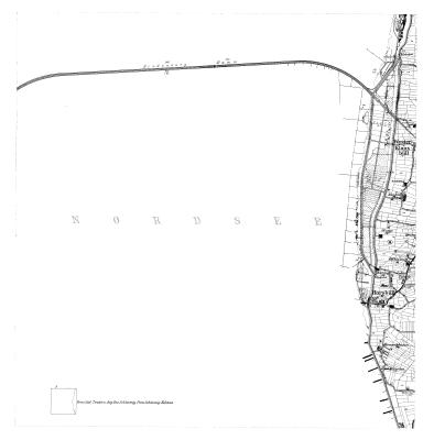
TK25 Blatt 1117
archiviertes Blatt 1117 der Topographischen Karte 1:25.000 (Chronologe) aus dem Jahr 1927
Daten und Ressourcen
Zusätzliche Informationen
| Feld | Wert |
|---|---|
| Verantwortlicher | Landesamt für Vermessung und Geoinformation Schleswig-Holstein |
| Zuletzt aktualisiert | April 24, 2024, 04:19 (UTC) |
| Erstellt | Januar 21, 2024, 04:34 (UTC) |
| Contact email | Poststelle@LVermGeo.landsh.de |
| Contact name | Landesamt für Vermessung und Geoinformation Schleswig-Holstein |
| End of temporal extent | 1927-12-31T00:00:00 |
| GUID | https://opendata.schleswig-holstein.de/dataset/2a12c963-c85c-4812-bceb-a664c5134120 |
| Identifier | 2a12c963-c85c-4812-bceb-a664c5134120 |
| Issued | 2021-01-22T00:00:00 |
| Modified | 2021-01-22T13:03:00 |
| Publisher URI | https://opendata.schleswig-holstein.de/organization/01115337-01d1-4e96-aa8e-9749524889c7 |
| Publisher name | Landesamt für Vermessung und Geoinformation Schleswig-Holstein |
| Sprache | ["http://publications.europa.eu/resource/authority/language/DEU"] |
| Start of temporal extent | 1927-01-01T00:00:00 |
| Theme | ["http://publications.europa.eu/resource/authority/data-theme/REGI"] |
| URI | https://opendata.schleswig-holstein.de/dataset/2a12c963-c85c-4812-bceb-a664c5134120 |
| access_rights | http://publications.europa.eu/resource/authority/access-right/PUBLIC |
| contributorID | ["http://dcat-ap.de/def/contributors/schleswigHolstein"] |
| maintainer_contacttype | Organization |
| metadata_harvested_portal | https://www.schleswig-holstein.de |
| spatial | {"coordinates":[[[8.493055,54.794918],[8.49172,54.901213],[8.668308,54.901824],[8.669179,54.795526],[8.493055,54.794918]]],"type":"Polygon"} |